-

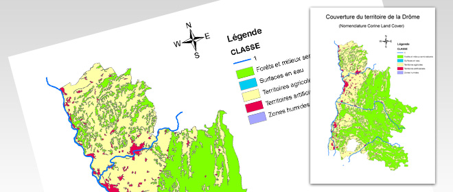
Thematic map about the territorial cover of the French department la Drôme
Thematic map built with ArcGIS from different layers of data provided (outline of the department, rivers, territorial cover and table of occupation of soils)
02/2011
-

Coming soon
Other documents are coming
08/2011

